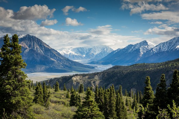
Sunset Rock via Whiteside
moderate · 3.2 mi · +600 ft · ~1h 30m · 1h 12m from downtown
Features: sunset, cliff views, scenic
Sunset Rock via Whiteside is a moderate 3.2-mile hike, about 1h 12m from downtown Asheville. Plan on 1h 30m with 600 ft of elevation gain.
Directions to the trailhead · Plan a full day around this hike
About the hike
Extension to a dramatic sunset viewpoint near Whiteside Mountain.
Trailhead
35.0712, -83.1456
Make a day of it
- The High Dive (Restaurants, ★ 4.7) — 3.0 mi from the trailhead
- Blue Bike Cafe (Restaurants, ★ 4.6) — 3.1 mi from the trailhead
- The Stubborn Bull at Mill Creek (Restaurants, ★ 4.5) — 3.1 mi from the trailhead
Questions
How long does Sunset Rock via Whiteside take?
About 1h 30m for the 3.2-mile hike, with 600 ft of elevation gain.
How hard is Sunset Rock via Whiteside?
It's rated moderate: 3.2 miles with 600 ft of climbing.
How far is Sunset Rock via Whiteside from Asheville?
About 1h 12m by car from downtown Asheville.
Similar trails
- Hawkbill Rock Trail: moderate · 1 mi · +300 ft · ~30 min · 20 min from downtown
- High Falls at Dupont: moderate · 4 mi · +500 ft · ~1h 45m · 35 min from downtown · Dog friendly
- Pinnacle Park Trail: moderate · 2.2 mi · +600 ft · ~1h 10m · 45 min from downtown · Dog friendly
Updated