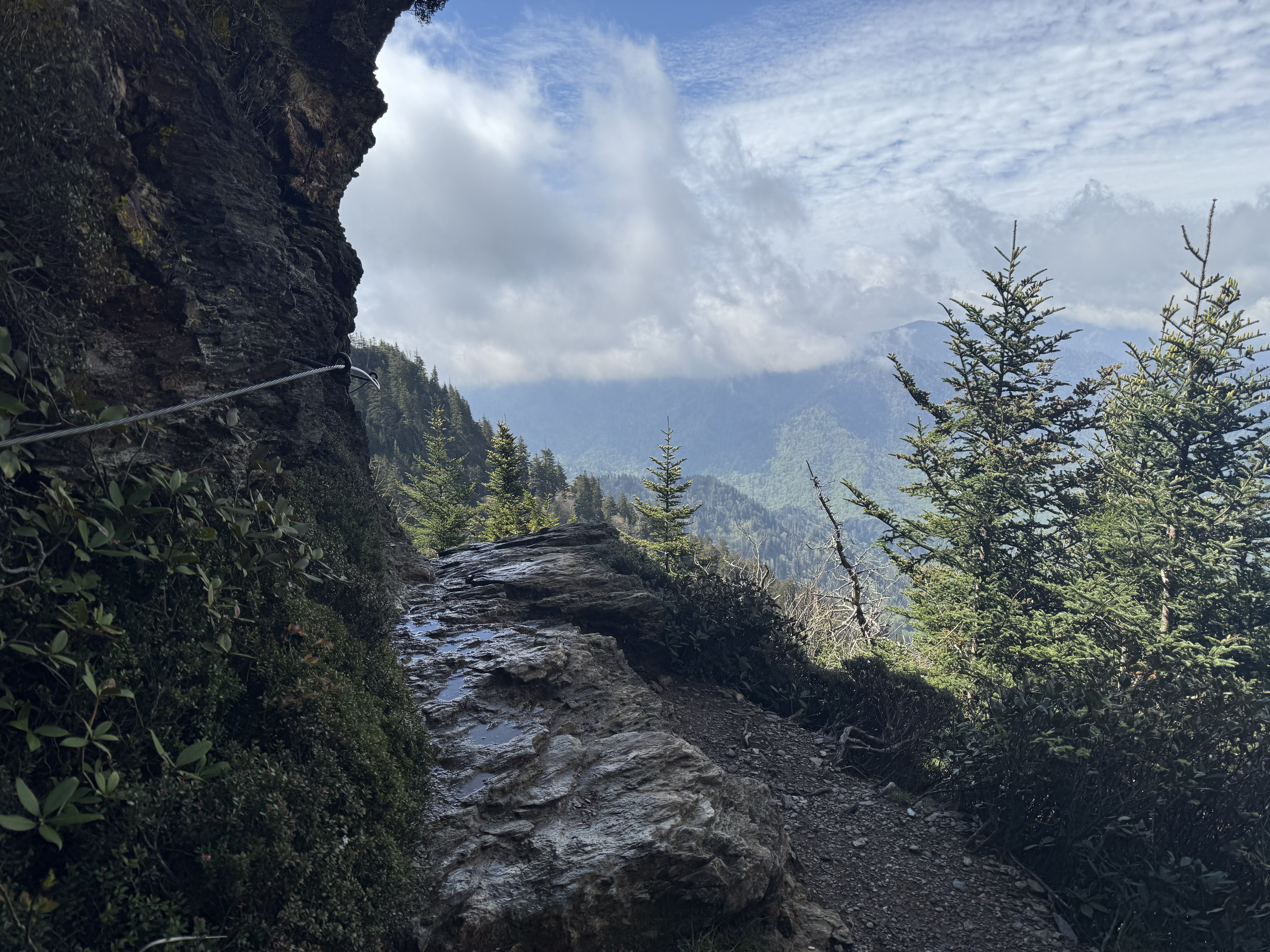
Alum Cave Trail to Mt LeConte
Great Smoky Mountains
hard · 10 mi · +2800 ft · ~6h 30m · 1h 20m from downtown
Features: iconic, summit, Smokies, arch
Alum Cave Trail to Mt LeConte is a hard 10-mile hike in Great Smoky Mountains, about 1h 20m from downtown Asheville. Plan on 6h 30m with 2,800 ft of elevation gain.
Directions to the trailhead · Plan a full day around this hike
About the hike
One of the most popular trails in the Smokies, ascending to Mt. LeConte.
Trailhead
35.6345, -83.4234
Make a day of it
- Tennessee Cider Company (Breweries, ★ 4.8) — 7.4 mi from the trailhead
- Native Brews Tap & Grill (Restaurants, ★ 4.4) — 11.4 mi from the trailhead
- The Rice Wagon Cherokee (Restaurants, ★ 4.9) — 11.5 mi from the trailhead
Questions
How long does Alum Cave Trail to Mt LeConte take?
About 6h 30m for the 10-mile hike, with 2,800 ft of elevation gain.
How hard is Alum Cave Trail to Mt LeConte?
It's rated hard: 10 miles with 2,800 ft of climbing.
How far is Alum Cave Trail to Mt LeConte from Asheville?
About 1h 20m by car from downtown Asheville, in Great Smoky Mountains.
Similar trails
- Table Rock Trail: hard · 2.2 mi · +900 ft · ~1h 30m · 1h 10m from downtown
- Charlies Bunion via AT: hard · 8 mi · +1600 ft · ~5h · 1h 15m from downtown
- Mount Sterling via Mt Sterling Gap: hard · 5.4 mi · +1900 ft · ~4h · 1h 15m from downtown
Updated